Map · 2020 · for comparison
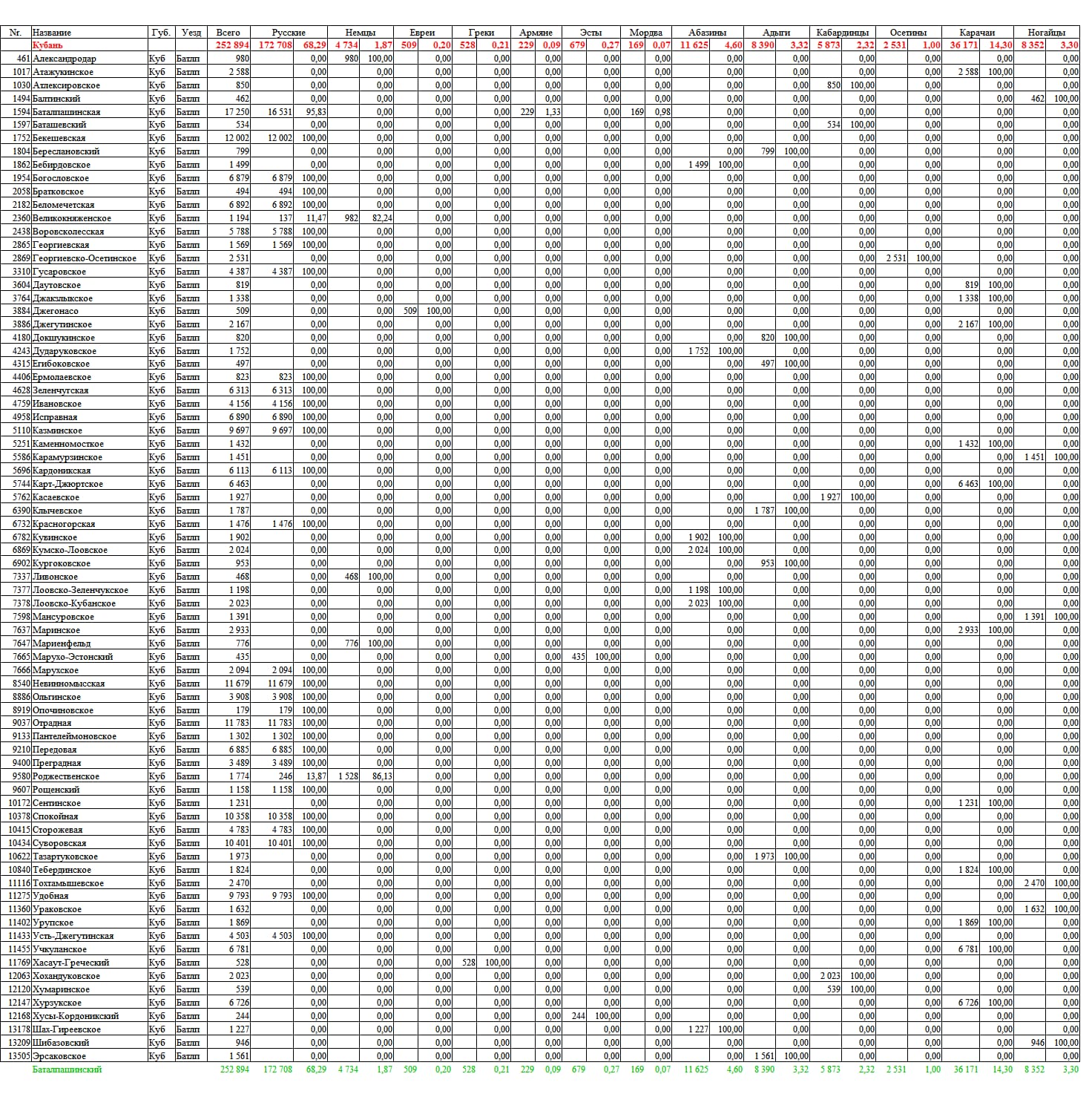
Settlements of the Batalpashinsk Department in 1908 (schematic)
Caption
Schematic map of the settlements of the Batalpashinsk Department after the "Caucasian Calendar for 1910" (as of 1908), drawn in 2020 [Wikimedia Commons, Prieditis2012].
Map: Prieditis2012 / Wikimedia Commons, CC BY-SA 4.0
Who, where, when
- Date
- 2020
Details
- Kind
- Map
- Held by
- Wikimedia Commons
- Rights
- CC-BY-SA-4.0
- Credit line
- Map: Prieditis2012 / Wikimedia Commons, CC BY-SA 4.0
- Size
- 1472 × 1505
- Class
- for comparison

Where it is used
How to cite
“Settlements of the Batalpashinsk Department in 1908 (schematic)” — The Kalaushins: a family chronicle, archive. https://kalaushin.com/en/arkhiv/maps-commons-batalpashinskiy-otdel-na-1908-god/