Map · 1902 · for comparison
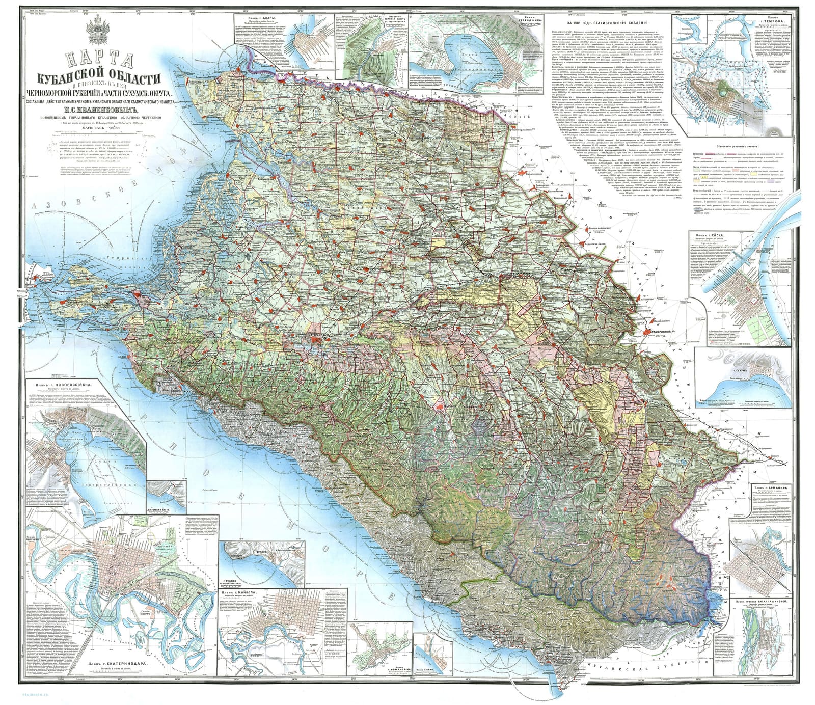
Map of the Kuban Region, Black Sea Governorate and part of Sukhumi District, 1902
Caption
Map of the Kuban Region with the adjacent Black Sea Governorate and part of Sukhumi District, scale 1:420,000, compiled by N. S. Ivanenkov; printed by D. M. Rudnev's cartographic works, 1902 [Wikimedia Commons].
Wikimedia Commons (public domain)
Who, where, when
- Date
- 1902
Details
- Kind
- Map
- Held by
- Wikimedia Commons
- Rights
- public domain
- Credit line
- Wikimedia Commons (public domain)
- Size
- 3840 × 3322
- Class
- for comparison

Where it is used
How to cite
“Map of the Kuban Region, Black Sea Governorate and part of Sukhumi District, 1902” — The Kalaushins: a family chronicle, archive. https://kalaushin.com/en/arkhiv/maps-commons-karta-kubanskoy-oblasti-1902/